|
|
|
 |
Remember: Press F11 for a
full screen view of this page. |
Web Counter when published 2
093 990 |
|
" Borrowdale Hydro - a National Trust Walk " Date & start time: 14th June 2023. 9.30 am start. Location of Start : Seatoller NT car park, Borrowdale, Cumbria, Uk. ( NY 245 138). Places visited : Seatoller Hydro, Thorneythwaite Farm, Coombe Gill and its Hydro Scheme. Walk details : 3.3 miles, 600 ft of ascent, 3 hours 30 mins (including conversations). Highest point : Coombe Gill Valley, 942ft - 290m. Walked with : Roy Henderson & Garry Sharples of National Trust, plus us five and my dogs. Weather : Sunshine and blue skies - hot, dry and no rain of late.
|
© Crown copyright. All rights reserved. Licence number PU 100034184. |

| I was alerted to a National Trust walk taking place locally, that really appealed to my interest. Roy, the local NT ranger and Gary, the National Hydro Development Office for The Trust were offering a guided walk around the National Trust's hydro power systems within the upper Borrowdale valley. An early start suited this beautiful sunny day, but hardship of hardships, I had to make it up and over Honister Pass to get there.
The severn of us met at the Seatoller car park where Roy and Gary introduced themselves. We would be visiting the Coombe Gill Hydro system on the other side of the valley later, but as that power building only accessible via private land, we would first visited the Hause Gill (Seatoller) generating scheme here in Seatoller to see what made up a typical hydro installation.
We started by heading up through the narrows into Seatoller Village.
We cross the sturdy bridge over Hause Gill, the water of which flows steeply down from the top of Honister Pass. There was serious flooding in the village in the 1960's (?) and the second span had to be re-built, hence the different arch.
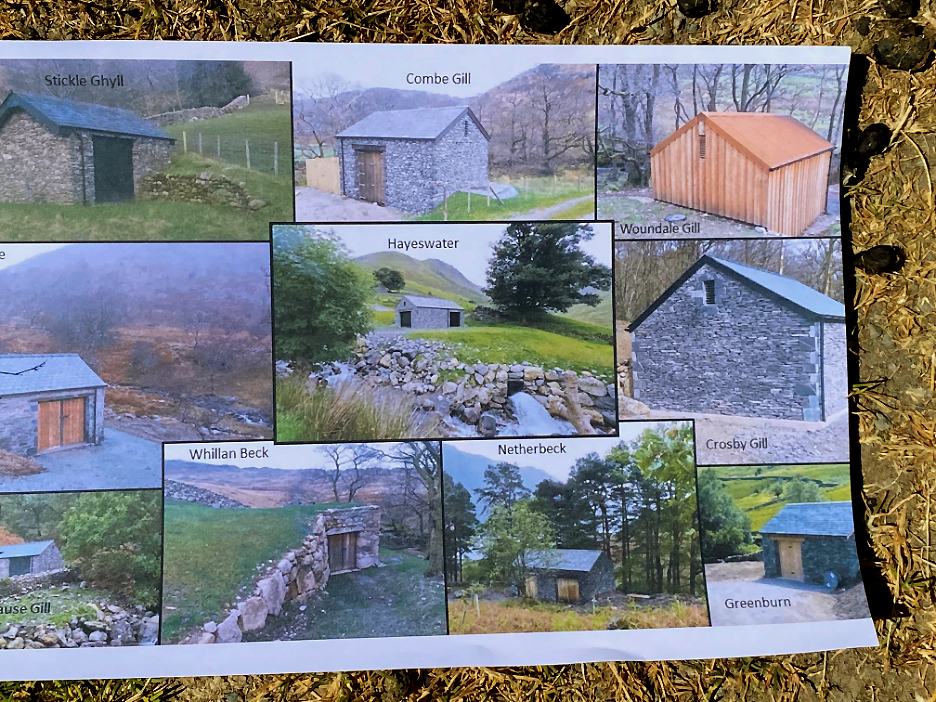
A small, innocuous building stands on the other side of the river, very similar in design to the Hartsop building I saw earlier in the week.
Inside Gary explained the constituent parts of the system and talked lots (but not all) about the technical spec of the installation. The blue water pipe that had been installed connects to the weir just above the wooded section of the Honister Pass valley and feed water under high pressure into the square turbine housing, which then turns the adjacent generator to create the electricity. [ The 'deep pit' was the covered-over exit of the generation water on its short journey back to the river]
The system is automatic, only generating when there is sufficient excess water in the river, so it needs no manual intervention. It switches itself on and off, transmitting power to the grid via the control boxes at the back of the room.
The generator is rated at 100 kilowatt per hour . . . that's a potential for 2,400 Kw hours of power per day if the rivers are flowing well ! That would make it capable of supplying roughly all the houses and farms at the top end of the valley provided they don't all put their 3Kw kettles on at the same time. [ Gary suggested that the average domestic property uses just under 10 Kw hours of electricity per day, or 3000 Kwh per year)
Roy and Gary were also keen to show us the Coombe Gill Scheme that was to be found in the valley below Bessyboot. That's on the opposite side of the valley from here, so we set off to walk across and discussed the landscape along the way.
The Yurts on the Seatoller campsite have in recent years, thankfully been re-constructed using brown fabric. When they first appeared they were brilliant white and stood out like sore thumbs !
The footpath across the valley passes through the camping field and across the footbridge.
It took us past Thorneythwaite Farm. There was initial controversy when the farm was first purchased by The Trust as the buildings were bought separately from the land. The buildings are now home to a delightful couple who offer respite care to families of children with serious cancers. The rest of the land is rented out for farming but is its now managed by The Trust with environmental priorities to the fore.
A short distance along the Thorneythwaite Farm road we noticed some extremely wide, 'sacrificial' stone walls. These were built oversize, not only to contain animals, but in order to use up the lose stones that littered the adjacent fields. The other, more famous examples are of course those of Wasdale Valley above the Wasdale Head Inn.
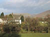
Our route skirts past the well known Mountain View Houses, well known that is if you know the valley !
Along the way, two of Roy's colleagues were repairing the walls and fences and a short conversation followed about enclosing the land and the benefits that follow from it. Other comments included how Roy always seemed to get the easy jobs . . . though he strongly tried to deny that !
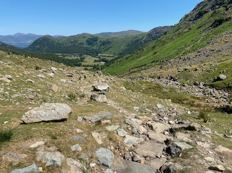
We're on the Coombe Beck track now, starting the climb up the valley that leads to Bessyboot and Glaramara summits.
Below us is the Coombe Gill power House, similar inside to the Hause Gill plant we had just visited.
The National Trust has identified around 150 sites in the Lakes that could host these discrete hydro system like these. They've only built eleven of them so far as one of the biggest problems is the lack of capacity in the National Grid to carry the power away. Keswick could be fed purely by hydro power from Borrowdale but the power cables to get it there just aren't big enough to cope. [ It needs more investment from Government and the Power Companies to be able to utilise the abundant hydro power available in the Lakes.]
Maintaining fencing and enclosing key sites allow native plants to re-grow and thrive, as with this and the adjacent Borrowdale Crab Apple trees.
Once we reach the fell gate the scenery changes. The track up and through this gate turned out to be the route of the Coombe Gill pipeline. Roy and Gary were keen to point out the fact that the landscape contractors used by the Trust worked to such high standards that we had not realised where the pipeline had been buried.
These were photos taken during construction, here at this same gate and also higher up the fell.
We walk on up the track of the pipe which was hidden below an existing mountain path.
Even the larger rocks were moved away then and replaced to maintain the natural appearance of the fellside.
Where the landscaping had to be done across a steep slope, the Trust fenced in the fell to ensure the vegetation could re-grow quickly and so stabilise the slope. Interestingly the vegetation inside the fence is now significantly different from the sheep-grazed fell outside ! Could this be what the fells would be like without any sheep ?
Gary explained the level of detail they achieved whilst excavating and replacing the soil and rocks. In the damper areas the sieves or rushes and even foxgloves have returned.
Where the soil is even more damp they found re-growth of Cotton Grass. Second hand tree protectors guard young saplings planted in the area.
At the top end of the enclosure we find the weir and water take off point. The 'V' notch on the left ensures that the natural river gets first shout for the water. When the weir is full and the water overtops the right hand side, it falls over and through the gauze cover before flowing away down the pipe.
Today there's so little water the stream is hardly running, even Dougal has to work hard to get wet ! The system is virtually maintenance free, apart from keeping the 'V' notch clear of stones brought down by the adjacent Rottenstone Gill.
Visit over, it was time to make our way back down the track towards Seatoller . . . past the Crab Apple trees again . . .
. . . and down past the place where the pipeline branches off right towards the power house below.
One last diversion before we head back as our conversations had moved on to include flooding in the Borrowdale Valley and the thoughts The Trust had for re-wilding the canalised section of the River Derwent near Seathwaite. They hoped the river could one day take a more flood-friendly route across the valley over some of the Thorneythwaite land in order to capture the gravel, absorb the flood surge and so prevent extreme flooding further down the valley.
Our route took us back past the Thorneythwaite Farm buildings, back over the footbridge to the campsite and the car at Seatoller Village.
|


Technical note: Pictures taken with my iPhone 11 pro phone camera.
Resized in Photoshop, and built up on a Dreamweaver web builder.
This site best viewed with . . . more investment by another of our national utilities.
Go to Home Page . . . © RmH . . . Email me here
Previous walk - 10th June 2023 - A Hayeswater Round
A previous time up here - 18th August 2010 Glaramara and Bessy Boot
Next walk - 16th June 2023 - Cockermouth Castle Visit