|
|
|
 |
Remember: Press F11 for a
full screen view of this page. |
Web Counter when published 2
117 125 |
|
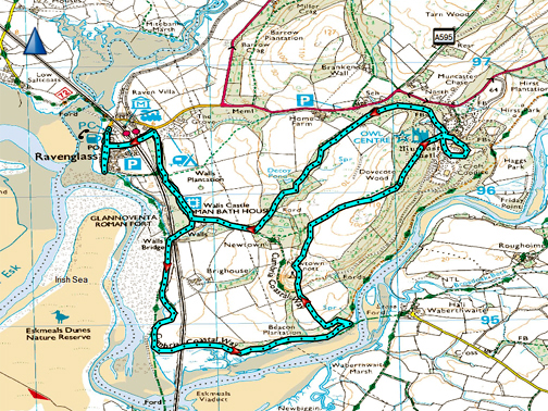
" Ravenglass and Muncaster " Date & start time: 12th October 2023. 11.30 am start. Location of Start : By the Village Hall, Ravenglass, Cumbria, Uk. ( SD 084 964). Places visited : Ravenglass, Bath House, Coastal Path, Newtown Knott, Muncaster Castle. Walk details : 6 miles, 550 ft of ascent, 4 hours 10 mins including lunch. Highest point : Forest Gate above Muncaster Castle, 324ft - 100m. Walked with : Loes and the dogs, Dylan and Dougal. Weather : A beautiful sunny day.
|
© Crown copyright. All rights reserved. Licence number PU 100034184. |
|
A fine mid-week day gave Loes and I the opportunity to venture west, to walk the coast at Ravenglass. We took a stroll along the Cumbrian Coast Way, then turned inland and visited Newtown Knott. Muncaster Castle followed (where we ate lunch) before returning for a stroll through Ravenglass Village and back to the car.
Crossing the Cold Fell mountain road, heading for the main coast road just south of Sellafield.
Normally there's just sheep up here, but today there seem to be Highland Cattle as well . . . but this one only seems to have one horn. The farmer will have to give him a bell soon " in case the other horn doesn't work !!"
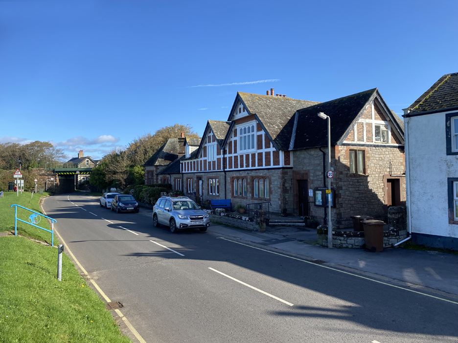
There's a big car park in the Village but it's a quiet day, so roadside parking outside the Village Hall will do for us.
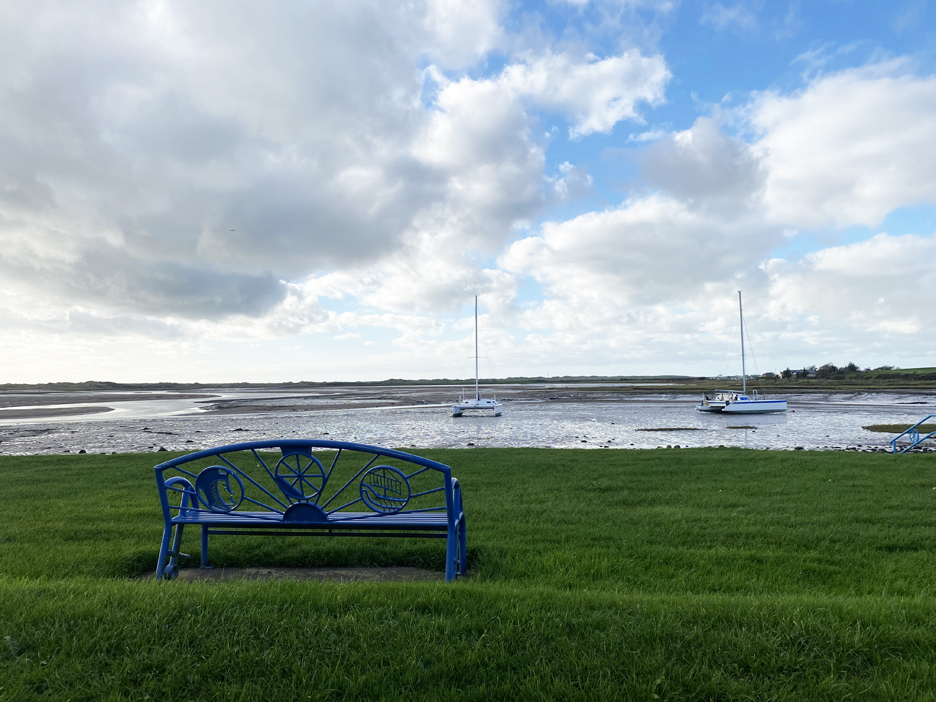
It is a fantastic morning . . . beautiful sunshine and calm winds. It's high tide about now so the estuary is full of water and the boats are swinging freely at their moorings.
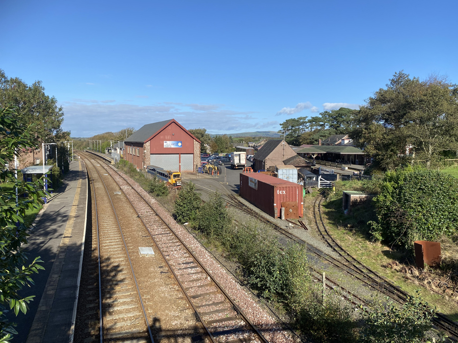
We set off through the top of the village and soon found the bridge that allowed us to cross both the main West Coast rail line and the Ravenglass Narrow gauge track bed. On the right is the terminus of La'al Ratty, but there are tracks this side which allow the staff to move rolling stock around and into the sheds.
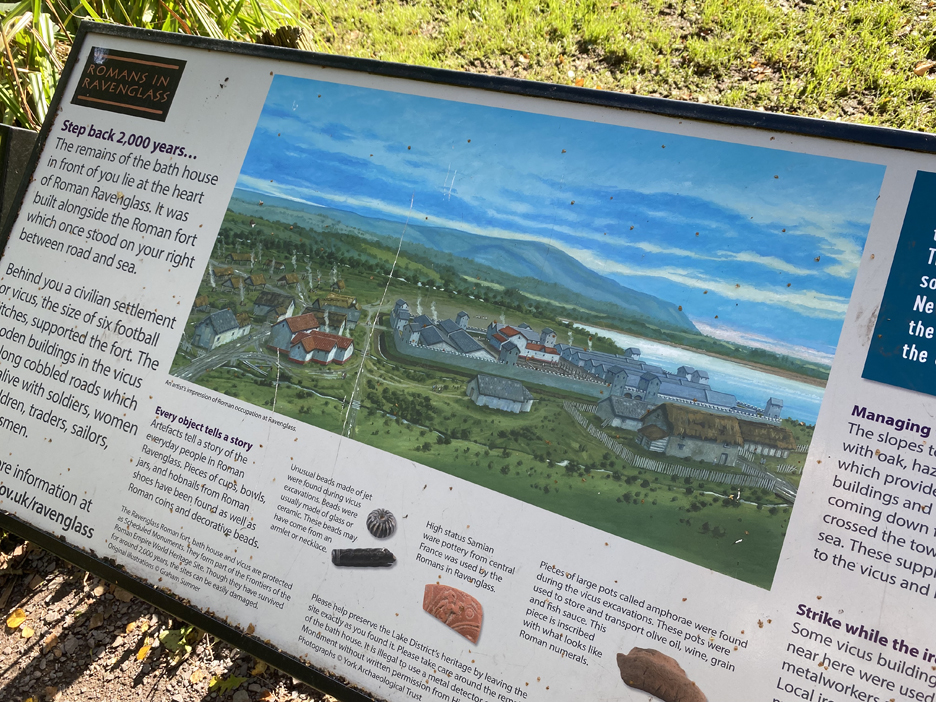
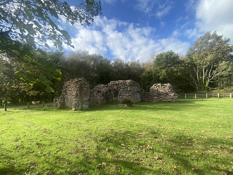
The path behind the village soon leads us to an old ruined building . . . and they don't get much older than this one.
It is the remains of a Roman Bath House and is apparently one of the tallest, free-standing roman buildings left in the UK.
Ravenglass was an important Roman site, having a large fort and harbour at the southern extremity of Hadrian's Wall and its defence system.
The Bath House was an integral part of the Roman Fort and the fields around would have been the site of the Vicus, a Roman Village. You can still make out the level ground and some of the ditches that cross the site of the fort. - - - o o o - - -
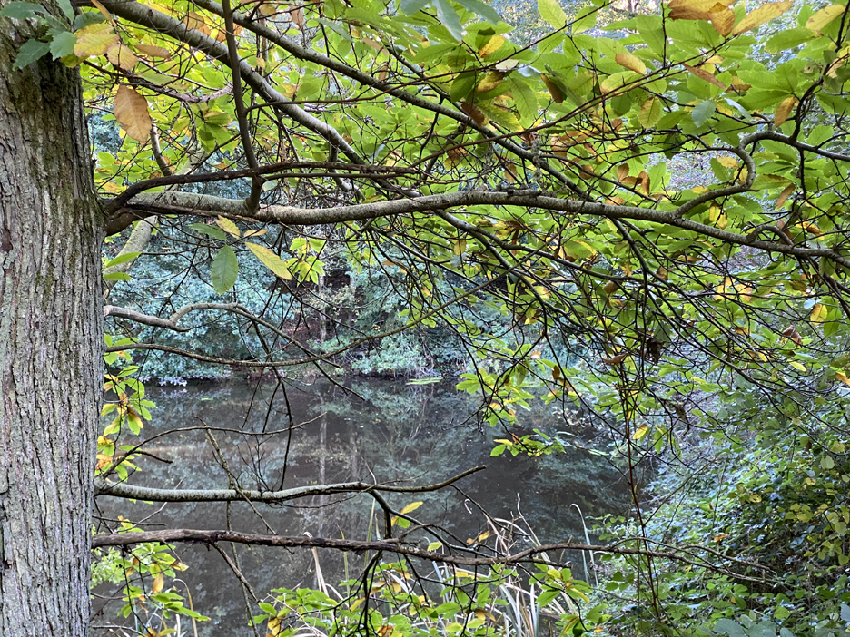
We continue on past a house called "Walls" and turn right under Walls Bridge which carries the main line railway overhead. This brought us out on the shoreline of the River Esk.
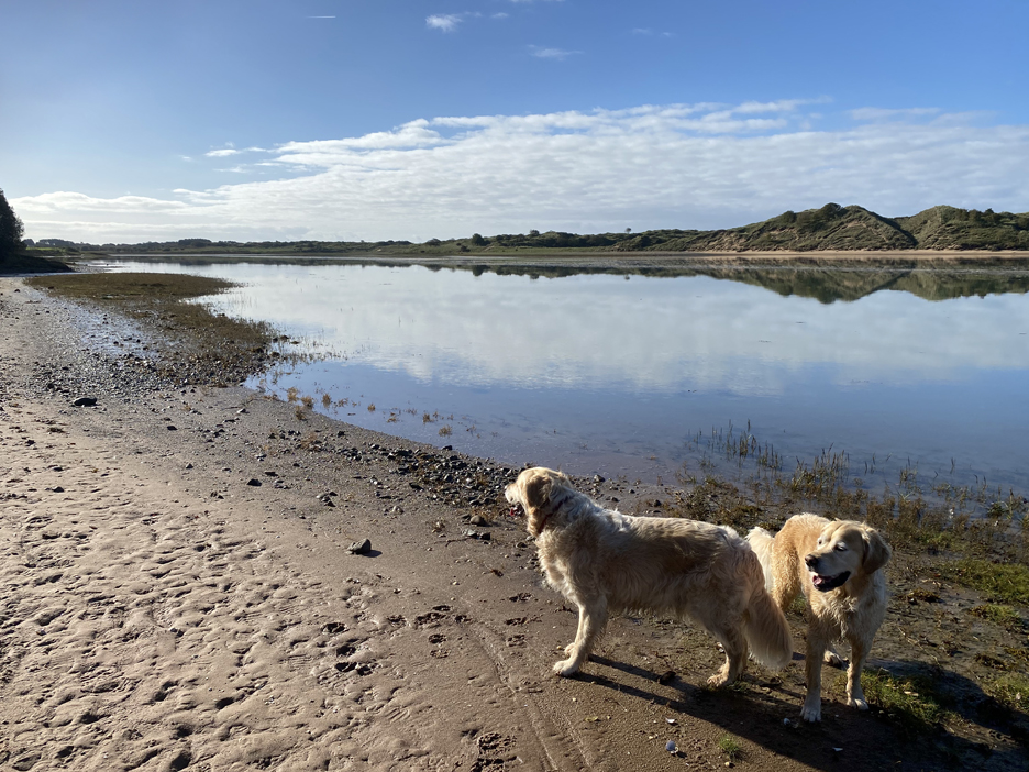
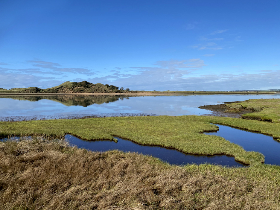
The England Coast Path and Cumbria Coast Way follows the line of the shore north and south from here. The tide has turned and the water is slowly ebbing away to the sea.
The reflections of the blue sky in the water is beautiful. Across the way is the Eskmeals Dunes Nature Reserve, difficult to get to so has become a haven for wildlife and birds.
The coast path and ourselves part company here. The sign says the path is tidal and it appears that you have to wade the river to continue on south. Maybe there's a way across via the railway bridge for when the tide is high or the river is in spate.
The shadow is one cast by the railway bridge that we used to cross back under the main line. Ahead is the River Esk marshland, the peaks of Yoadcastle and Stainton Pike form a backdrop to the scene.
The path is marked as the Cumbrian Coastal Way and offers a dry river crossing at Muncaster Bridge a couple of miles upstream for those not wanting to attempt the lower crossing.
We fancy a diversion to visit Newton Knott, marked as a 'beacon' on the O.S. map. To reach it however we have to find the gate in the Muncaster Estate Wall and then climb up through the woods. It's marked as a footpath but finding the point we leave the marsh was more difficult than we thought.
In the end a gate appeared, just around a corner, which led us to a forest track and then a side turning climbed up towards the Knott. Time to walk through the middle of the sheep . . . but it is a marked footpath so all is well. We'll head for that gate.
The rocks on the summit of the Knott did actually have an old look out tower or beacon at the top. The structure has seen better days and it would be a great project to rebuild the fallen stone and re-instate the tower as a landmark . . . anyone fancy a quick course in dry stone walling ?
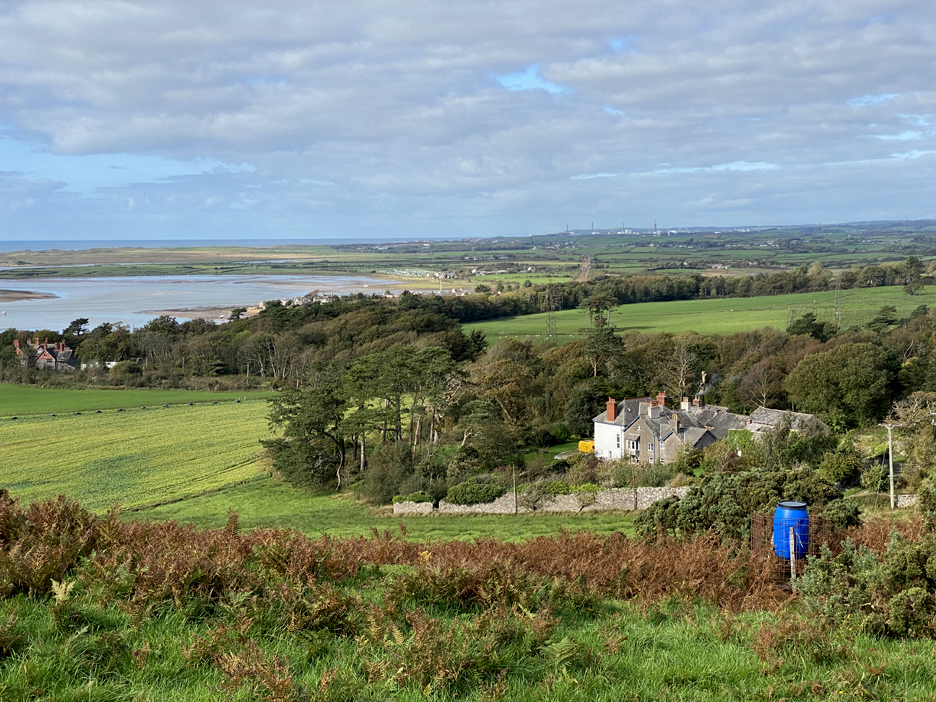
From the top of the stones the view was superb. Looking down we see the Eskmeals Railway Bridge below us, but looking round we see the whole of our route so far.
The wider view from Newtown Knott. Click
here or on the photo above for a 360
degree annotated panorama.
Looking down on Newtown House and Ravenglass . . . but it's time to be moving on. The map showed a track below us to Muncaster, or a public footpath a field away across the high ground.
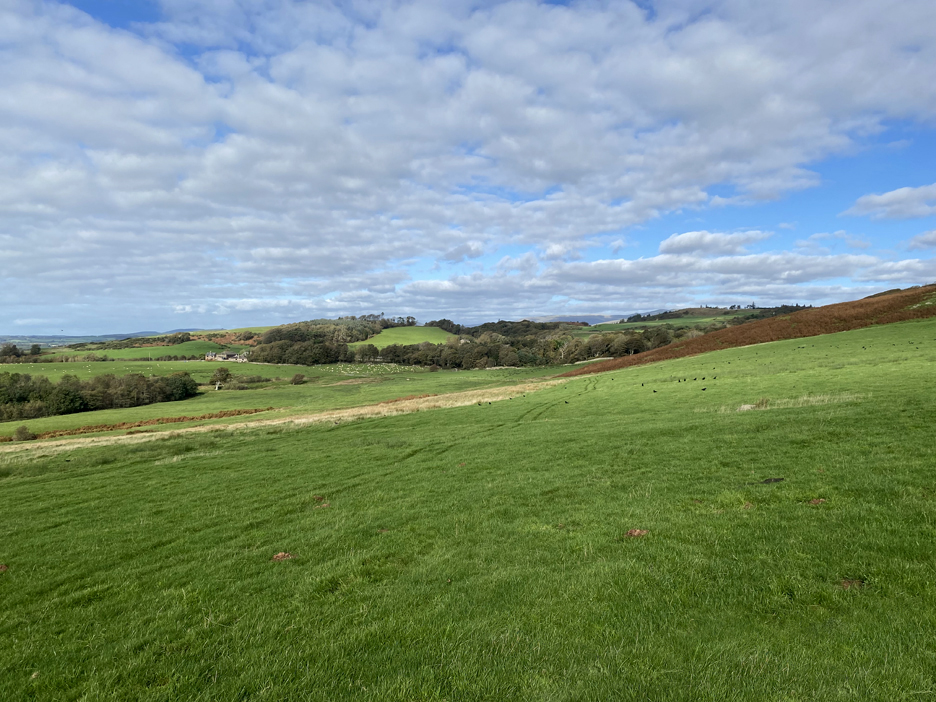
The footpath climbs the field up towards Dovecott Woods, out of sight beyond the bracken slope. A quad bike tracks head off towards Muncaster Home Farm in the distance . . . we'll pass it later in the walk.
The dogs are still trying to work out how kissing gates work . . . fortunately.
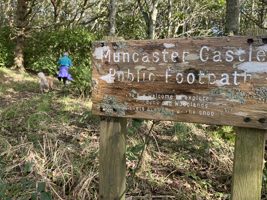
Loes leads on as I stop for a photo of a well-matured footpath sign.
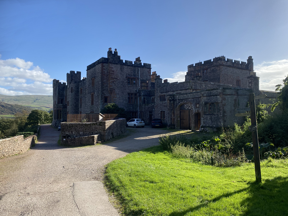
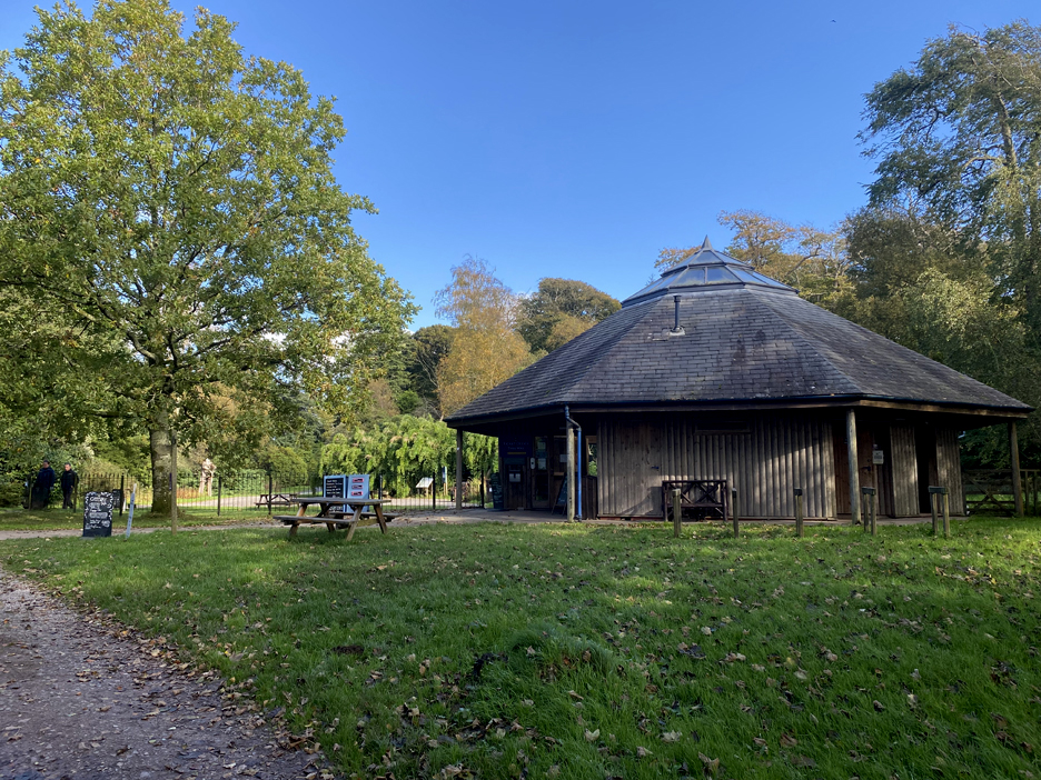
Down through the woods . . . and we end up in the grounds of Muncaster castle.
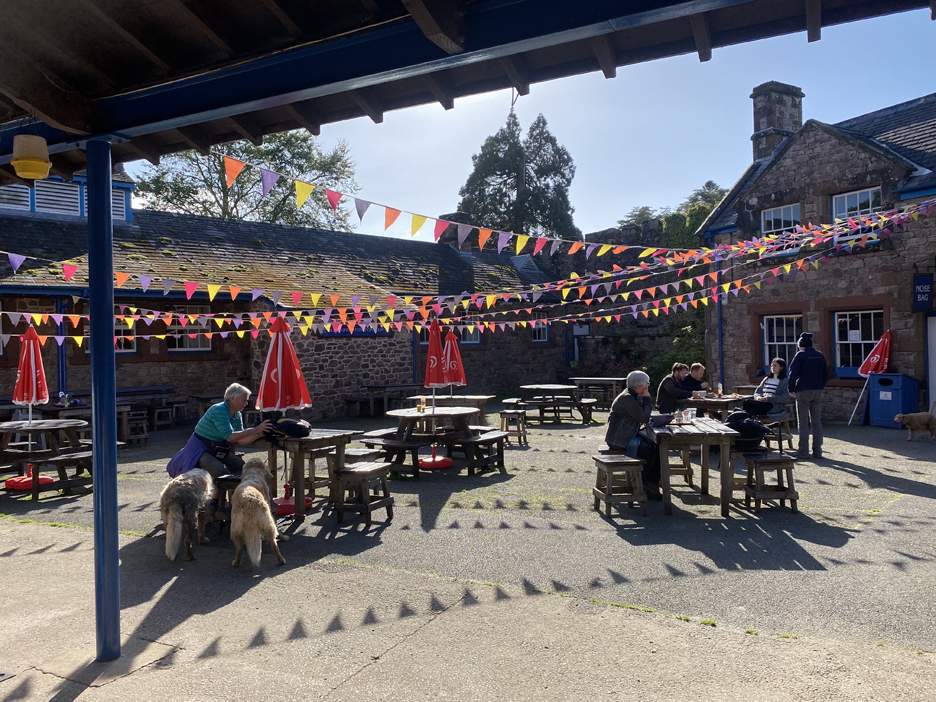
We've brough refreshments for the walk . . . but the menu in the Courthouse Cafe looks inviting.
. . . and it does not fail to reach the high standards promised. A Tuna and Cheese Melt with a lovely salad . . . a pictured this time before I started eating ! [ Loes enjoyed her lunch too but didn't take a photo.] - - - - o o o - - -
Afterwards we had a short walk around the grounds to view the outside of the castle.
Last time I was here the Bird Display and Heron Feeding took place much closer to the Castle lawn. [ Check the link at the end to see the bird display from a few years back.]
Another new addition since my last visit . . . The Eco Barn with a giant Bug House end wall.
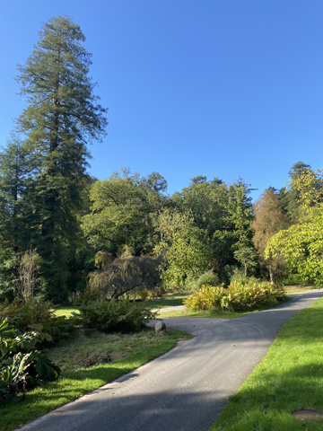
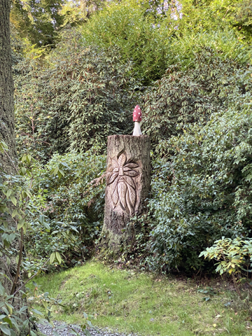
We headed off up the drive towards the main entrance. On the way up the driveway we passed some lovely wood sculptures and carvings in the woods on either side.
The Main Entrance is a modern round house. Rather than cross the road to the main car park, we turned left and headed on the side footpath and track, back towards Ravenglass.
Heading down through Decoy Woods.
The map shows Decoy Pond set back on the right . . . presumably where the Estate used to shoot wildfowl using decoy ducks on the water. This pond on the left on the way down was delightful too but difficult to photograph.
"I think this is where we came in" The track brought us back down to Walls House and the Roman Bath House.
Not much has changed in the three hours that has passed since we crossed this bridge but we did note several main line trains passing during that time.
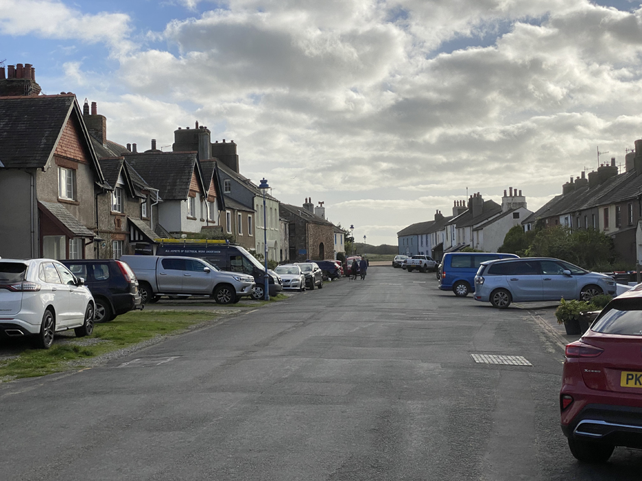
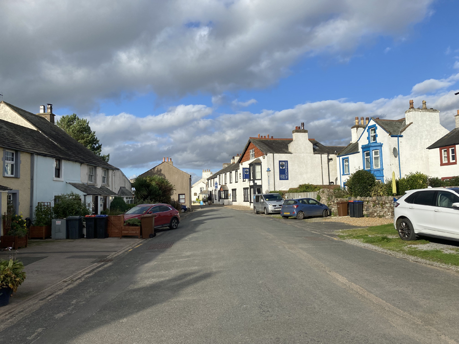
The afternoon is still young . . . so we extend our walk by strolling down the Main Street of the village. It is said that the fishermen lived in the smaller houses on the right, closer to the sea and the agricultural workers and merchant classes lived in the bigger houses on the left side, closer to the fields and farms.
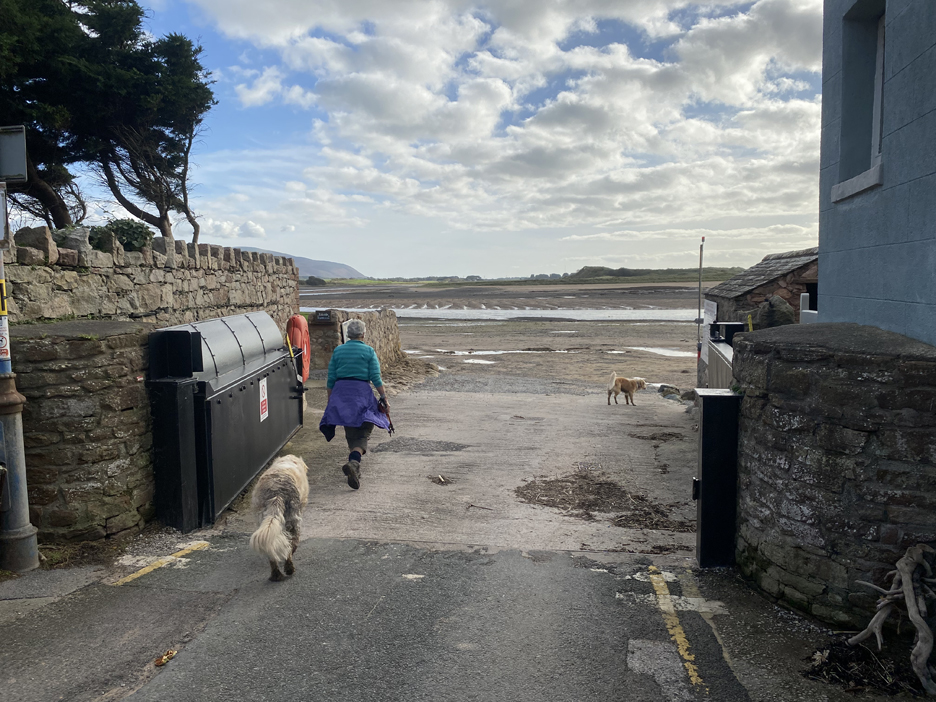
A substantial flood gate marks the end of the road . . . as the street tumbles out onto the beach.
Here an information plaque informs and entertains.
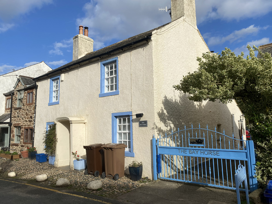
We learnt that 'The Bay Horse' was one of the old Inns of the village.
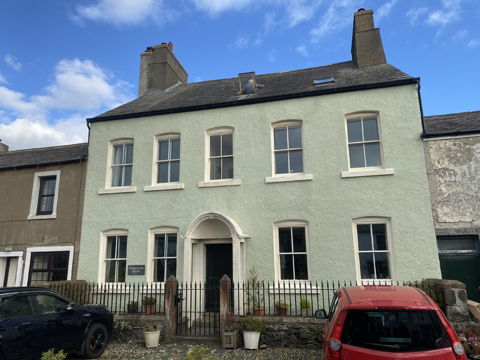
Pennington House tells of greater wealth . . . as befits the Pennington Family that owns Muncaster Castle.
The items on display, including numerous cigarette lighters, vapes, fishing gear and toys which have all been cleared from the adjacent foreshore.
Back up Main Street now and through the road narrows at the Pennington Arms . . . note the family connection once more.
Sadly can't stay for more refreshments, for obvious reasons . . . and it's time to be heading home anyway. In the four hours of the walk the tide as ebbed and now the channel is dry. The boats are aground but the view is still impressive. - - - o o o - - - Technical note: Pictures taken with my iPhone 11pro mobile phone camera. Resized in Photoshop, and built up on a Dreamweaver web builder. This site best viewed with . . . wellies or a rowing boat to reach your moorings. Go to Home Page . . . © RmH . . . Email me here Previous walk - 2nd Oct 2023 - Lingholm and Local A previous time up here - 5th June 2014 - Muncaster Castle with Gareth Next walk - 13th Oct 2023 - Buttermere Round The Lake The tide's now out but the Loweswatercam Calendars are still in stock . . .
|