|
|
|
 |
Remember: Press F11 for a
full screen view of this page. |
Web Counter when published 2
141 750 |
|
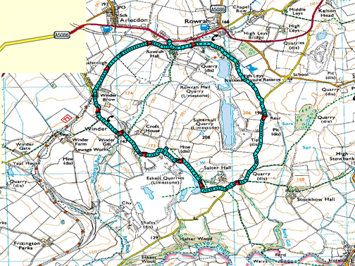
" Rowrah Trackway Surprise " Date & start time: 21st February 2024. 2.30 pm start. Location of Start : Roadside at Rowrah, Near Cleater Moor, Cumbria, Uk. ( NY 055 185 ). Places visited : High Leys Nature Reserve, Salter Hall, Eskett Quarries, Winder and back. Walk details : 3.75 miles, 350 ft of ascent, 2 hours. Highest point : Looking over into the quarries, physically and metaphorically. Walked with : Loes and the dogs, Dylan and Dougal. Weather : Sunshine after rain.
|
© Crown copyright. All rights reserved. Licence number PU 100034184. |
|
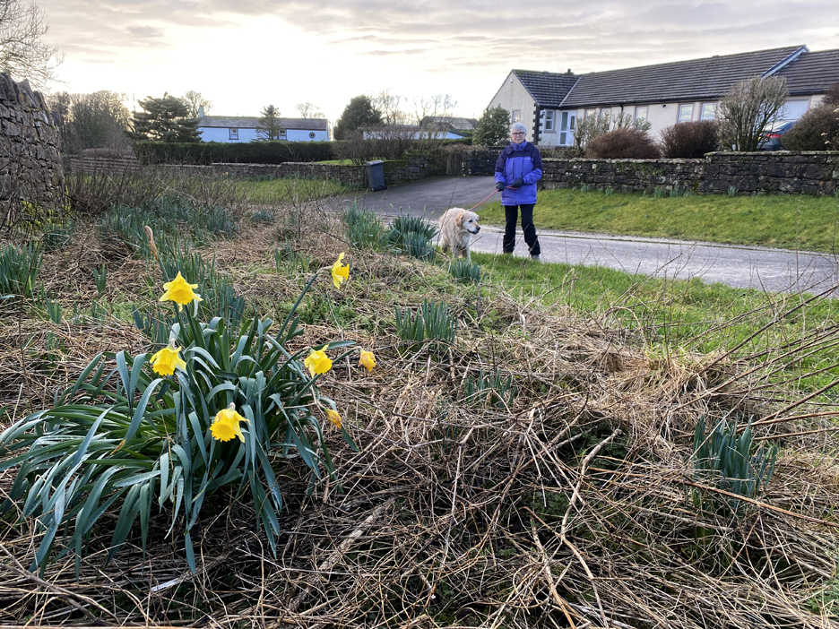
A walk can be great for many reasons, the height, the length, the scenery or perhaps a surprise along the way. Today fell into that latter category. We set off expecting a reasonably level walk along a railway cycle path with some road walking to 'round the circle' back to the start, but ended up with a a bit of a tour through the industrial history of this area of Cumbria.
Rowrah, notably home nowadays to the Ennerdale Brewery, a Nissan main dealership also retains the old workers cottages that grew up in support of the industrial enterprise that created work in the area. Not a popular tourist area so the limited off road areas still meant we could park right at the start of our walk. It had rained all morning, and by delaying our start and moving west out of the hills, the weather was now decidedly better.
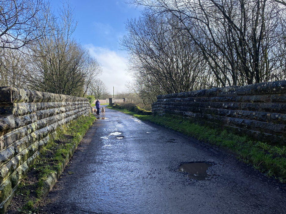
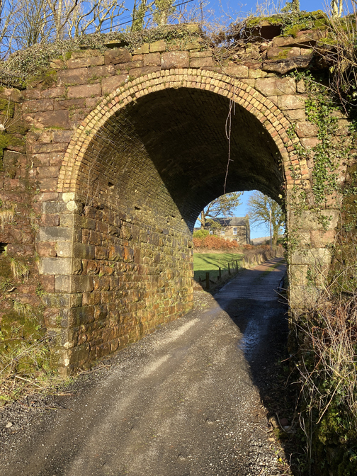
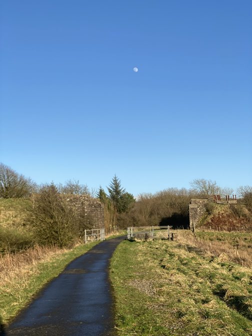
The road walls were very reminiscent of railway bridges but looking over the parapet only revealed trees and an earth bank. However my hunch was right, as we were crossing the filled-in track bed of the old Cleater Moor (and west coast) to Cockermouth railway. The second bridge in the picture spans the old Rowrah to Workington railway route. These were all old mineral lines serving the heavy industry of West Cumbria, now all seemingly gone.
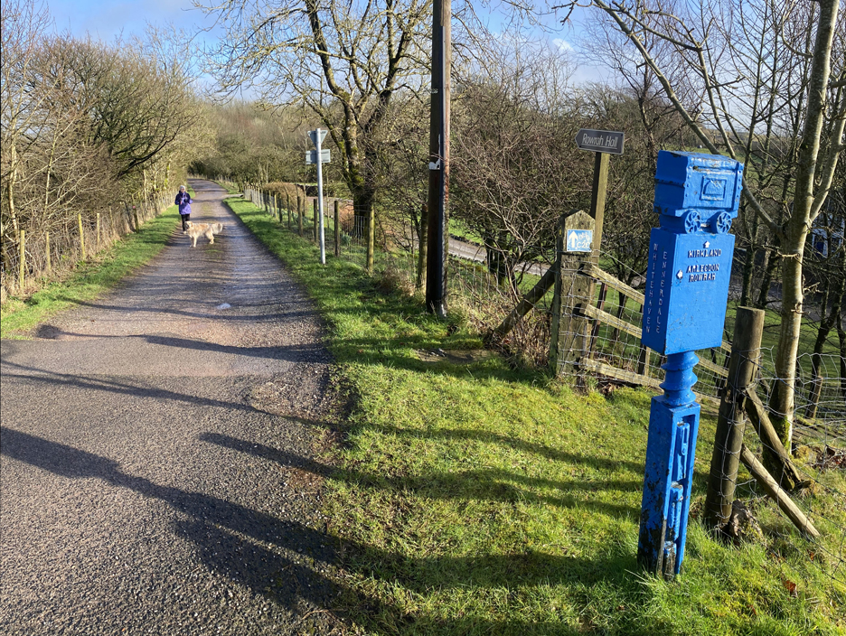
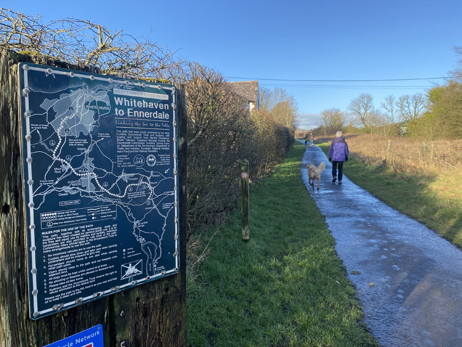
We have planned an easier, circular route skirting around some lakes marked as the High Leys Nature Reserve, so a left turn took us onto the Sustrans Cycleway which at this point had been forced to abandon the railway track beds below.
Passing the grand house that was named as Rowrah Hall . . . there'll be some interesting history there I would think. The Hall is a listed building and dates from either 1705 (on the ruined barn) or 1729 (the plaque on the house) It has been modernised and now advertises itself as Guest House and B&B accommodation
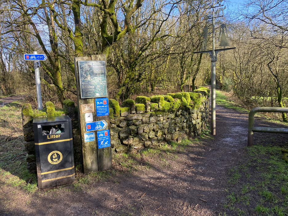
Our cycleway / footpath descends to the track level but swings south (right), leaving the old rail line to continue on.
Signs of old railway buildings, though these walls indicate something larger than a simple track-side shed.
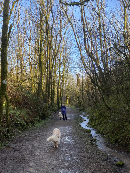
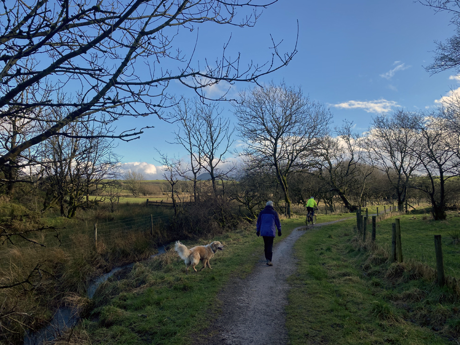
The maps shows evidence of multiple quarries (disused) but exactly where our track changed from a railway track to a path was a little uncertain. The long distance route has now evolved into a country walk, complete with the occasional cyclist and dog walker along the way.
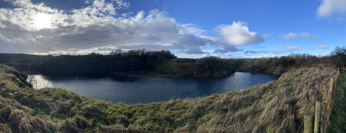
As the nature reserve has a similar name to mine (High Leys - higher fields), I just had to cross to look into what was an old quarry. I had a real surprise when this large lake came into view. The old workings have become full of water and now the changed habitat is classed as a nature reserve.
I was expecting red soil from old iron ore workings, but in fact the geology was grey . . . it was a limestone quarry. What's more the man made hole in the ground extended on, as far as the eye could see.
At this point the specific long distant route changes, as it has reached a local country lane. The Route 71 now headed off on the back roads to Kirkland, Lamplugh, Loweswater (almost past my house) and away to Keswick and beyond.
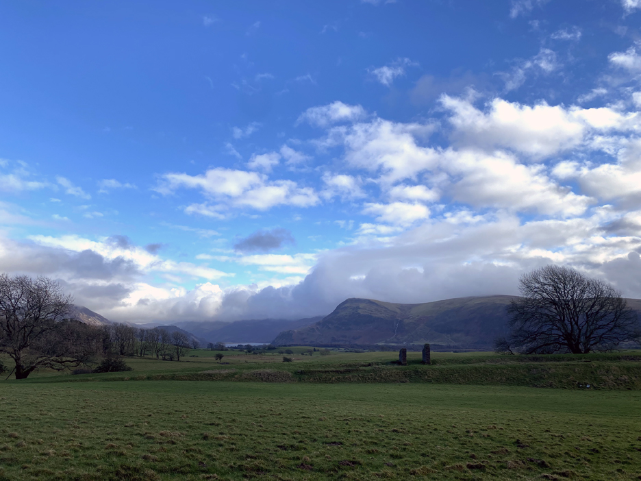
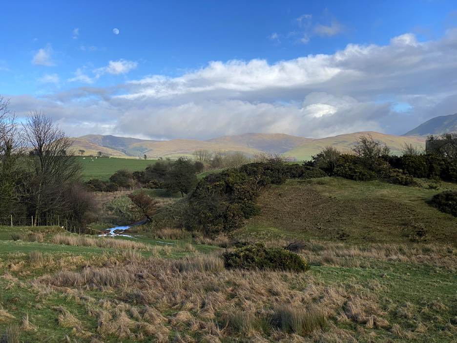
Our round walk continues south and looking across the fields we get distant views of Ennerdale. Keen eyes will spot an embankment and old brick structure. This must be more of the historic tramway links to other local quarries.
We're in the shadow of a cloud now, so the views back highlight a sunny Knock Murton and Blake Fell. "Up in them there hills" are the iron ore mines that surround Cauda Brow and Kirkland area, just a mile or so away. If you want to smelt iron you need three basic raw materials . . . iron ore, limestone and coal. The coal was sourced from pits in West Cumbria, so the juxtaposition of these three key ingredients gave rise to the West Cumbrian iron and ship building trades, now sadly closed in Workington but alive in the ship building of Barrow in Furness.
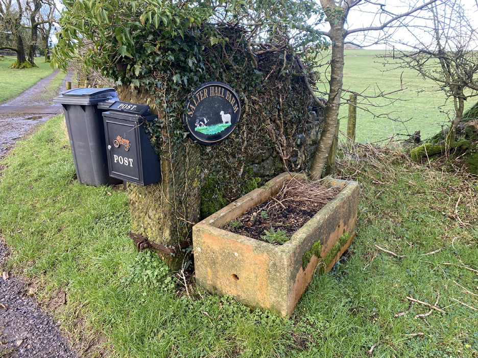
Walking on, Spring is in the air as we reach the hamlet of Salter Hall.
The farm or the old house gave it's name to the Salter hall Quarries that we have just passed.
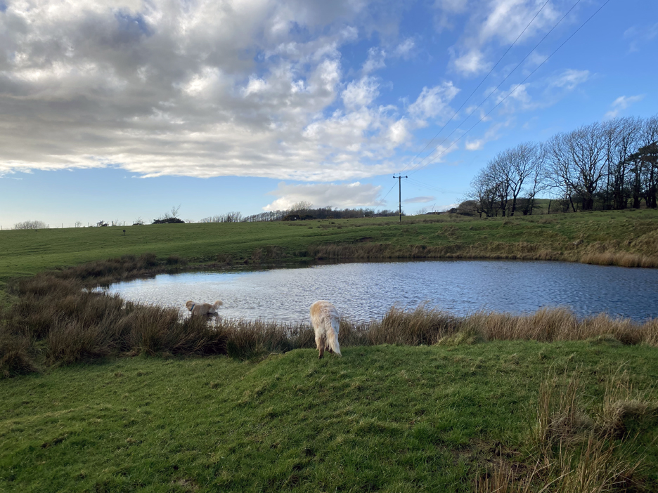
To stay on the road and re-gain the long distance cycleway heading back north meant a few more miles road walking so we set off across the fields on a short cut, a marked but seemingly hardly used public footpath. A small lake in the field could have been an old sink hole, this being a limestone area.
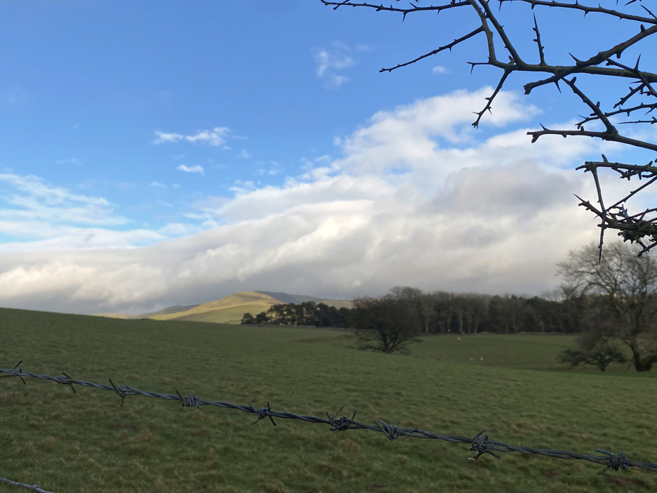
The heavy rains of the morning have moved east and the last of the cloud was lifting from the high fells, giving us a lovely afternoon. However, that lovely looking green grass was in fact water-logged and claggy and wasn't as easy as it looked.
Another water-filled quarry, part of the Eskett Limestone Quarry system this time. Our path heads up alongside the fence, the raised ground helping little to clear the water from the surface of the field. As for the quarry, it all looks a bit abandoned and closed.
More old workings to the right, judging by the disturbed nature of the ground.
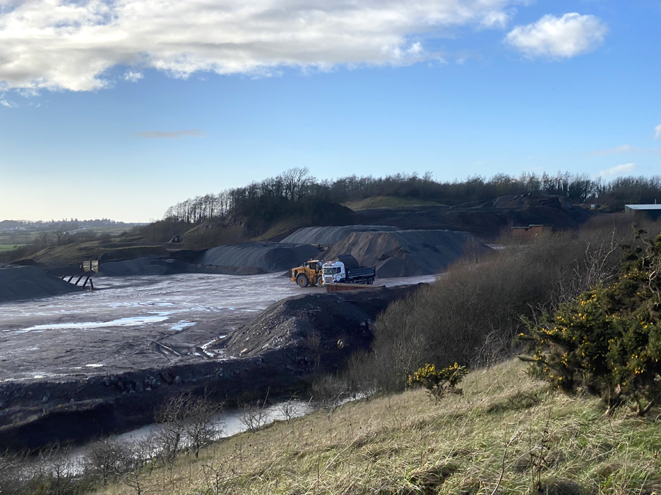
To the left, surprise, surprise, the quarry is very much a working environment, as a lorry turns up and a bucket loader fills it with limestone aggregate.
Looking down on Eskett Quarry as we pass alongside it.
Here the navigation got a bit complicated. The mapped footpath took several unexplained turns and ended up on this flooded and overgrown path, necessitating an unplanned diversion. Obviously this footpath is for fine weather walkers only !
Another water logged section brought us out at the quarry buildings and the road . . . relief . . . but no ! The path turned and followed this side of the fence and never joined the road. Oh ... if the company could just fine time to cut back a bit of the overhanging branches, re-appraise the drainage on their side and spread a ton or so of their quarried chippings to raise the path adjacent to the fence, it would make so much easier.
Leaving this last couple of hundred yards behind feels like an escape to normality once again . . . so much for an gentle country stroll.
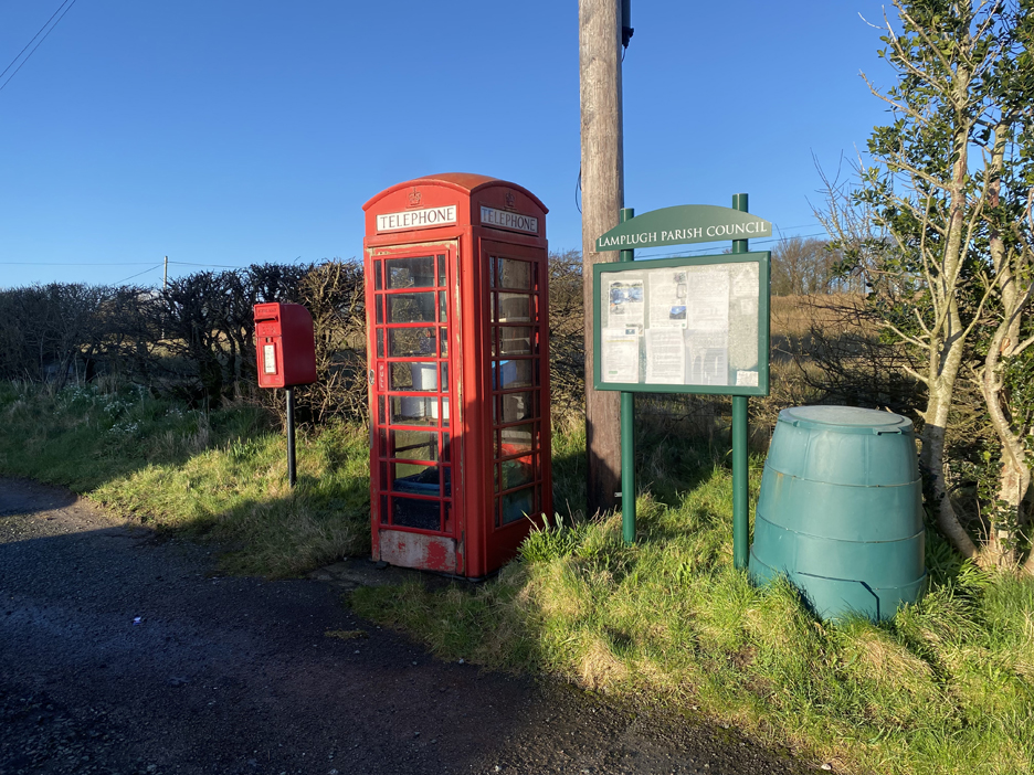
The redundant phone box was full of gardening items including a compost bin alongside. I couldn't work out whether it was someone's personal store or whether it was available for public use.
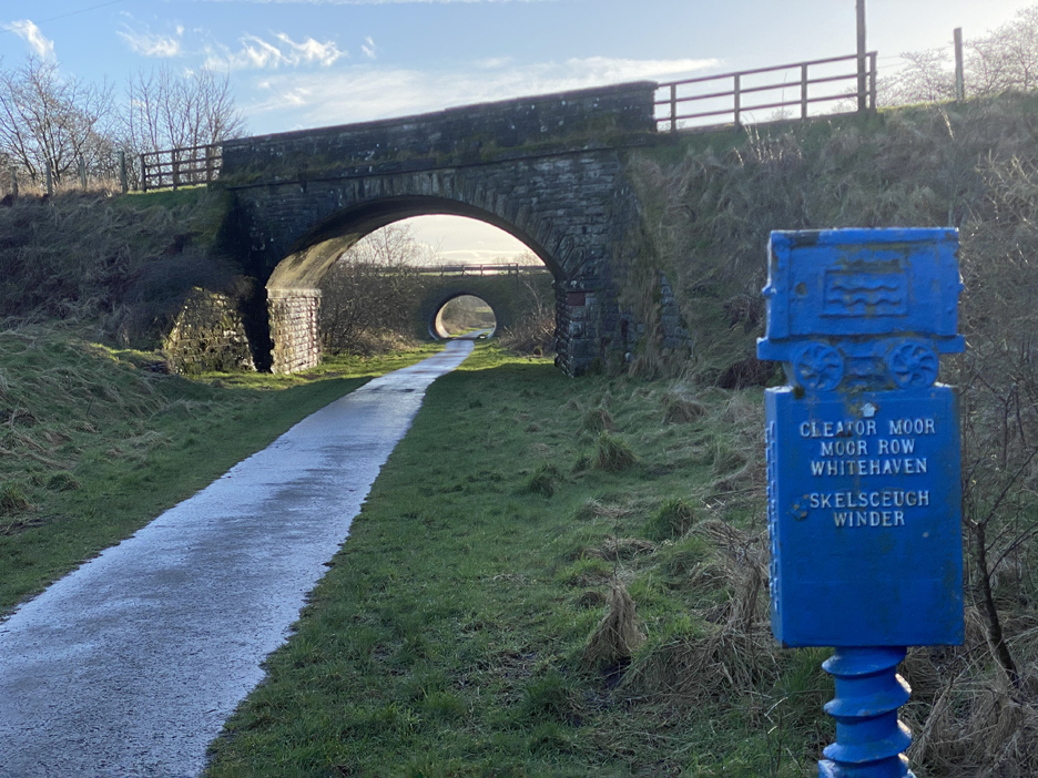
At Winder Brow, a signpost to which I had passed many times on the way to St Bees. Our route dives off to the right and re-joins the old railway below, once again part of the Sustrans Cycleway.
South, through the bridges to Cleater Moor.
But we're heading back towards Rowrah, on the curved section of cycleway to the right of centre on the map.
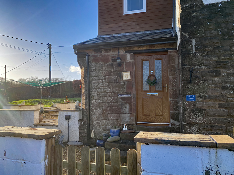
The old Station House remains, but now as a private house.
We're back at Rowrah, close to where the track bed was blocked under the bridges, so here the pathway leaves the railway and re-joins the road above.
That brings us full circle, albeit via a tricky route at times, back to Rowrah Hall.
A short walk back over those bridges brings us back to the main road and the car at the end of the walk. - - - o o o - - - Technical note: Pictures taken with my iPhone 11pro mobile phone camera. Resized in Photoshop, and built up on a Dreamweaver web builder. This site best viewed with . . . the serenity to cope with the unexpected, less easy sections of the walk ! Go to Home Page . . . © RmH . . . Email me here Previous walk - 11th and 18th February 2024 - Mob Raven Crag A previous time near here - 19th March 2022 - Longlands and Cleator Moor ( including pictures of the heavy industry of Cleater further down the line ) Next walk - 22nd February 2024 - Silloth Foreshore Walk
|